from Erfurt
to Pforzheim
E-Bike: 2h 27 / day
Bike: 3h 22 / day
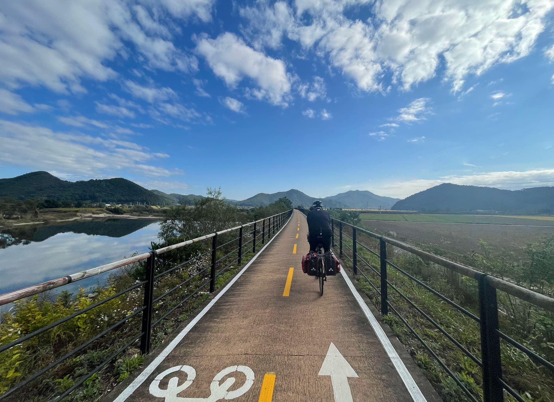
A four-day ride from Thuringia across Franconia into the northern Black Forest foothills. Fully unlocked demo tour.
Four days, four river systems and a steady drift from Thuringia's forests to the edge of the Black Forest.
Layered clothing for ridge descents, a light rain shell, and a spare tube - bike shops thin out between towns.
Continental and changeable: warm valley afternoons, cooler ridges, and a real chance of summer thunderstorms.
Rental and e-bike hire available in Erfurt, Wuerzburg and Heilbronn; one-way returns possible at larger shops.
Wuerzburg Residenz, the Tauber valley old towns and the Neckar vineyard terraces are the cultural high points.
This demo tour links Erfurt and Pforzheim over four varied stages, climbing through wooded ridges and dropping into the Main and Neckar valleys. Every section is unlocked so you can see the full guide.
215 km
Medium
—
Erfurt sits on the ICE high-speed line; bikes need a reservation on long-distance trains.
From Pforzheim regional trains reach Karlsruhe and Stuttgart in under an hour, both with onward bike-friendly connections.
4 days
4,480 m
—
Stage 4 has the longest sustained climb - start early and carry water, as the forest section has no shops.
2
1,000 m
4,320 m
Mostly Tarmac (10-25% gravel), Tarmac (up to 10% gravel), Mixed (25-50% gravel)
Each stage ends at a rail station, so the tour can be shortened to two or three days without backtracking.
J
F
M
A
M
J
J
A
S
O
N
D
Prevailing south-westerlies mean a mild headwind on the final stage; mornings are usually calmest.
4/5
· Quiet
Mixed wind
54 km1,120 m
Loading weather...
54 km1,120 m
Loading weather...
54 km1,120 m
Loading weather...
54 km1,120 m
Loading weather...
Baden-Wuerttemberg pairs the dense forests of the Black Forest with gentle river valleys along the Neckar and Rhine. Quiet farm roads, a thick network of signed cycle paths and frequent rail connections make it one of Germany's most rewarding regions for multi-day touring.
Distance: 14.8 km, Max gradient: 9.6%, Peak: 819 m
Distance: 7.0 km, Max gradient: 8.0%, Peak: 980 m
Distance: 14.8 km, Max gradient: 9.6%, Peak: 819 m
Distance: 7.0 km, Max gradient: 8.0%, Peak: 980 m
Distance: 14.8 km, Max gradient: 9.7%, Peak: 819 m
Distance: 7.0 km, Max gradient: 8.1%, Peak: 980 m
Distance: 14.7 km, Max gradient: 9.7%, Peak: 819 m
Distance: 7.0 km, Max gradient: 8.1%, Peak: 980 m
UNESCO World Heritage baroque palace with the largest ceiling fresco in the world.
Steep terraced vineyards rising straight from the riverside cycle path.
Long wooded ridge with a fast, rewarding descent toward the Werra valley.
This tour includes a ferry crossing. Plan ahead and book in time.
Small cable ferry; cyclists board first. Runs April-October, roughly every 30 minutes.
Travel to start
The tour start is not close to a major rail hub, airport or coach hub. Plan extra time for the final transfer, a taxi, an overnight stay or an additional ride to the route.
Travel from finish
The tour finish is not close to a major rail hub, airport or coach hub. Plan extra time for the transfer, a taxi, an overnight stay or an additional ride after the final stage.
Backpack
Lightweight tent
Sleeping bag
Sleeping pad
Portable stove and cookware
Water purification system
Hiking boots
Weather-appropriate clothing
Hat and sunglasses
Headlamp/flashlight
Multi-tool/knife
Water bottles or hydration system
High-energy snacks
Lightweight, non-perishable meals
Map and compass
First aid kit
Emergency whistle
Multi-day trekking poles
Lightweight, compact rain gear
Sunscreen
Insect repellent
Toiletries (travel-sized)
Quick-dry towel
Camera and/or smartphone
Portable charger
Pillow (inflatable or compressible)
Earplugs
Eye mask
Identification
Emergency contact information
Cash and/or credit cards
Binoculars
Trekking guidebook
Travel journal and pen
Lightweight camp chair
Loading weather...