from Jausiers
to Saint-Etienne-de-Tinee
E-Bike: 4h 06
Bike: 5h 41
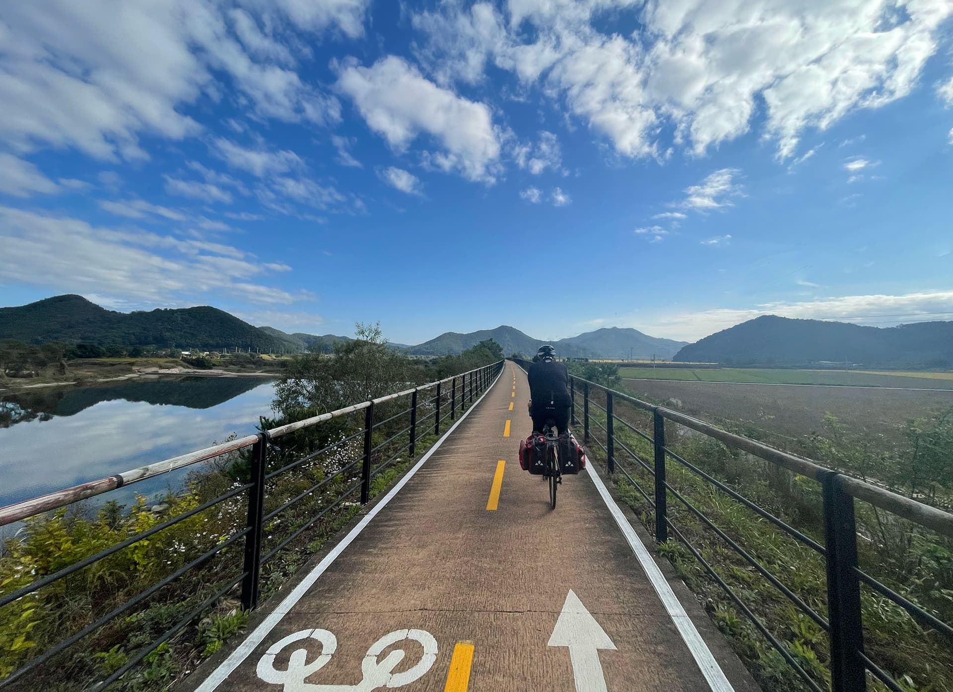
This was it – the queen stage of my traverse, albeit short in distance. The Cime de la Bonette loomed as both a physical challenge and a highlight I had eagerly anticipated. Col de la Bonette’s claim to fame is that a loop around its summit (the Cime de la Bonette) reaches 2,802 m, making it one of the highest paved roads in Europe. I departed Jausiers at first light, knowing the day would be dominated by one giant 23 km ascent. The initial kilometers leaving town were pleasant, alongside a rippling river with the road at an easy grade. But soon a sign announced the start of the climb: “Col de la Bonette – 23 km.” I took a deep breath, clicked into a low gear and began the long grind skyward.
The Bonette’s north side gains about 1,588 m of elevation over 23.2 km, with an average gradient of 7%. The climb unfolds in distinct movements. Early on, I passed through a sequence of tiny hamlets – wooden chalets with geraniums in the windowsills – still in morning shadow. The road then cut into a wild valley, the trees thinning as I gained altitude. After about 10 km, I rode past a weathered sign marking 2,000 m; half the climb was now behind me, but the hardest work remained above treeline. The landscape became austere – just grasses and rocks, with distant peaks encircling me. The air was thin and cool, but the sun was intense on the exposed slopes. My progress slowed to a steady crawl through a series of hairpins. At one switchback, a marmot dashed across the tarmac, as if to cheer me on in this high-altitude solitude.
As I ascended beyond 2,500 m, every pedal stroke became an act of will. The last few kilometers were brutal yet beautiful – I ground along at 7–8%, knowing the end was near. The valley ahead narrowed and then abruptly opened up to a windswept plain of rubble and scant grass. At 2,400 m I passed the ruins of the Caserne de Restefond, a deserted military outpost, and still the road climbed. Finally, the Col de la Bonette was in my sights – the col (2,715 m) was now beneath my wheels, the third-highest mountain pass in France, and it was grandiose! I decided to tackle the optional route around the Cime de la Bonette to reach the true high point. A right-hand fork led me onto the last kilometer of paved road spiraling up and around the rocky pinnacle. The profile was scary: the gradient jumping into double digits (around 13%), rising to 12% in the final hundred meters. With quivering legs, I pushed through this steep ramp, and suddenly I was there – the top of the world (or so it felt). At 2,802 m, I was higher than any official mountain pass in France. The panorama was staggering: a 360-degree sweep of the Mercantour National Park’s rugged peaks and deep valleys. The wind whipped cool and fierce. I donned my windbreaker and stood by the cairn marking the summit, letting a wave of accomplishment wash over me. Few paved roads on earth reach this altitude, and I had arrived under my own power.
The descent into the Tinée Valley was long and thrilling. I carefully navigated tight hairpins near the top, then could afford to let loose on the wider lower sections. In what felt like no time, green returned – first hardy scrub, then pines, then entire forests as I plunged back to moderate elevations. By early afternoon I reached Saint-Étienne-de-Tinée at 1,140 m, a village at the foot of Bonette’s south ramp. The climate here was noticeably milder; I’d effectively crossed into the Mediterranean side of the Alps. Saint-Étienne’s stone bridge and café-lined square invited a pause. I enjoyed a simple picnic by a fountain, legs fatigued but spirit soaring. I was now far from the high peaks; the horizon to the south showed lower, gentler mountains. The sea was not yet visible, but I could sense it in the softer air. After checking into a local inn, I spent the rest of the day resting, chatting with friendly locals about my journey. They nodded knowingly when I recounted climbing La Bonette – a badge of honor in these parts. I slept deeply that night, the hardest work of the journey behind me, and the promise of the Mediterranean drawing ever closer.
51.0 km from Jausiers to Saint-Etienne-de-Tinee, 1610 m climbing, hard difficulty
51 km
1,610 m